Hidden Histories and Nature Trail
Follow our short trail around the park and see what hidden histories the Friends have uncovered.
FoGH Committee: 27 Mar 2025
Welcome
The Friends
Support The Park
Park Events

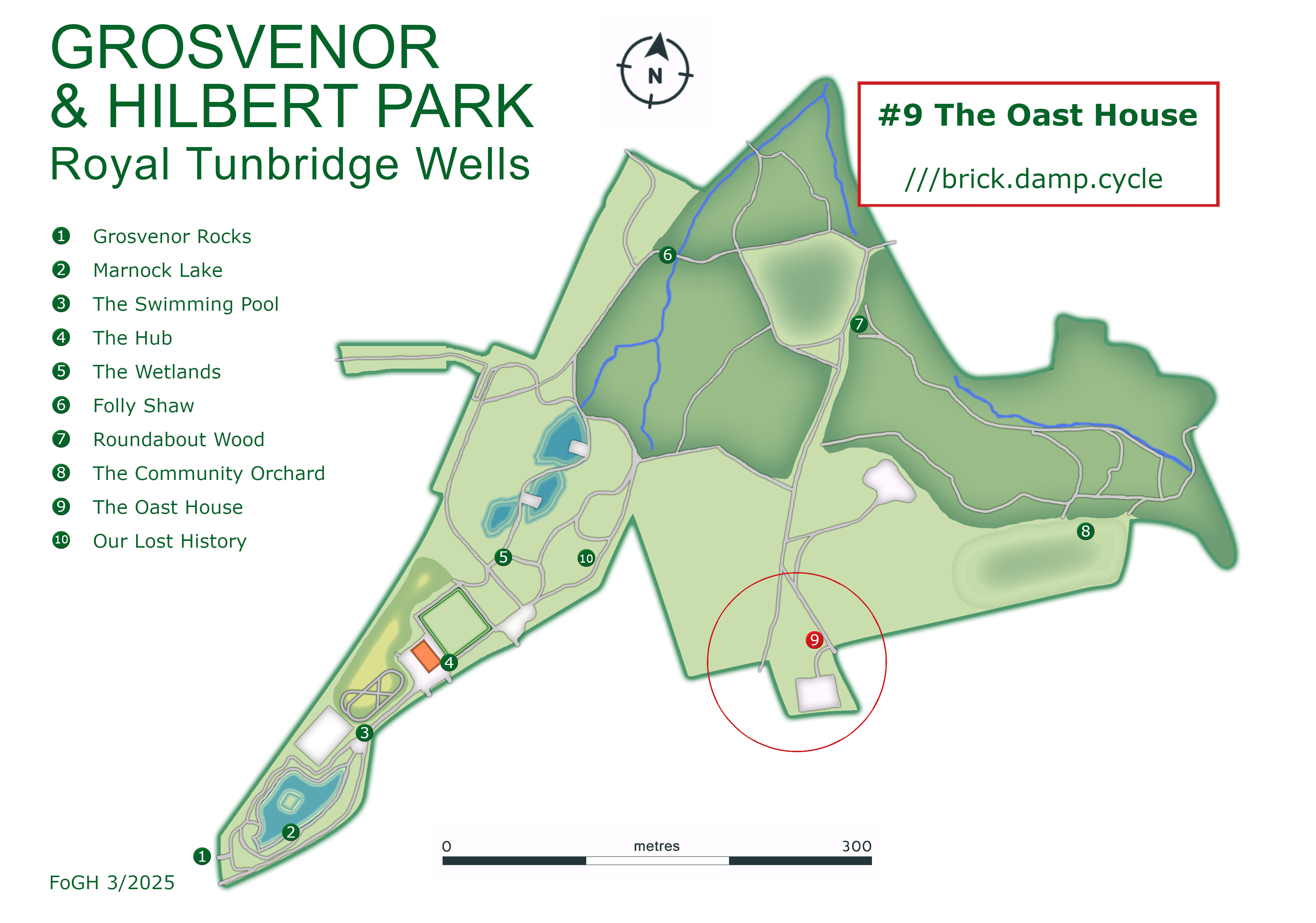
The Oast House

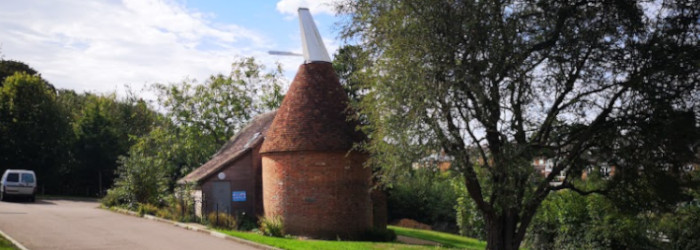
This characteristic mid-19th century Kentish Oast House was part of Charity Farm, which was on this site from the mid-19th century. It was once used for drying and storing hops, which were grown on the farm.

The round section is the kiln, where hops were dried above a charcoal fired furnace on the ground floor. The steep pitched roof allows hot air to be drawn up through the hops and out through the white-painted wooden cowl. This pivots to control air extraction and to stop rain from getting in. The dried hops were cooled and stored in the barn section.

The oast house was included in land donated to the council in 1936 by Councillor Strange, who requested that it was used as part of Hilbert Recreation Ground. It was converted into changing rooms for the football teams that play in the park and restored in 2015 during the Heritage Lottery regeneration.

More Information

Close

Oast houses were first documented in the 17th century, with early versions adapted from barns. By the 18th century these had developed into the distinctive tall buildings with conical roofs, found in Kent and Sussex. At first the kiln roofs were square, then conical in the belief that this was more efficient.

Hops were introduced into Kent at the end of the 15th century, probably from Flanders. Using hops in beer improves the taste, balancing sweetness with bitterness and adding other flavours, and they also have an antibacterial effect. Their cultivation expanded rapidly, and the 19th century was the golden age of the hop industry.

The hops are the flowers or seed cones of Humulus lupulus, a vigorous climbing herbaceous perennial plant. Only female plants are commercially cultivated, and they are grown in a 'hop garden', with shoots twining up wires attached to poles (usually chestnut).

The plants start to flower on side shoots in late June, reaching their full height towards the end of July. Hops are harvested in September, when the whole hop bine, including the string, is cut down and the seed cones are separated. Freshly picked 'green' hops have a moisture content of some 80%, which needs reducing to about 10%.

Drying the hops takes 10-15 hours and they need moving periodically to aerate them, with a wide flat wooden paddle. Once dried, the hops were moved to the barn section for cooling, then packed into 'pockets' and stored, before being sold to breweries.

Just For Kids

The oast house was once used to dry hops which are then used to flavour beer - Yuk!

Do you have a favourite drink?

If you are following the 'brass-rubbing' trail you'll find a spade at the bottom of the slope, near the exit to Dorking Road. If you've been following since the start of the trail, well done, and this is the last one!

Charity Farm
Before the park and surrounding housing, this area was part of a 73 acre farm, called Lipscomb Farm on a tithe map in 1838. But it was more widely known as Charity Farm, because it was owned by John Beanes Charity, which was for the benefit of non-conformist ministers and the poor in Guildford, Dorking and Surrey. This became known as the Dorking Charity Estate, which gave rise to the names Dorking Road and Charity Farm Allotments (on King George V Hill).

The 1838 map shows a mixed farm, with fields marked as arable, pasture and meadow. Pastures are grazed but not mown - the meadow grass is cut for hay, which is dried, stored and fed to livestock in winter. There is an orchard and three fields of hops, which were a profitable crop in the 19th century. An 1891 auction shows that the animals kept included horses, cattle, sheep and pigs.

More Information

Close

As Tunbridge Wells grew more housing was needed and the Dorking Charity Estate began selling land for development. The railway came through Charity Farm in 1845, cutting two fields in half. In 1887 John Stone-Wigg brought 4 acres, which became part of Grosvenor Recreation Ground. Over the next two years further land was sold, becoming Rochdale Road, Auckland Road, Stanhope Road, Vernon Road and Dorking Road. By 1897 much of the farm had been lost to housing.

As more housing was built near the farm, the local population increased, causing challenges for the tenant farmers. Reports in the Kent & Sussex Courier show theft, wilful damage, trespassing, poaching and assault. It wasn't all bad news, as once the hay was harvested the fields were used for events. St Barnabas school held children's parties and there were cricket matches.

In 1930 Councillor Edward Jeffrey Strange bought part of the farm and offered to donate 18 1/2 acres (7.5 ha) to the Borough Council as an extension to Grosvenor Recreation Ground. Then in 1931 he offered to sell the council an additional 6.6 (2.67 ha) acres of land. This included the 2.2 acres (0.89 ha) that now form Charity Farm allotments on King George V Hill.

Cllr Strange donated another 3 acres (1.2 ha) of land in 1936, to improve the Hilbert Road entrance, which included the original farmhouse and the oast house. The farmhouse is on Hilbert Road and this Grade II listed timber-framed house is one of the oldest in Tunbridge Wells. This final gift of land brought the total extent of Hilbert to 26 acres (10.5 ha).

The last tenant of the farm was Mary Ann Copper, who left in 1936 and a long tradition of farming on the site came to an end. The oast house remains as a link to this agricultural past.

Plans for the development of Hilbert included botanical gardens, children's playgrounds, football and cricket pitches, a model yacht lake and tennis courts. But due to poor economic conditions in the 1930s and post-war austerity, Hilbert Recreation Ground was never formally laid out, apart from the paths and the football pitches.

King George's Field

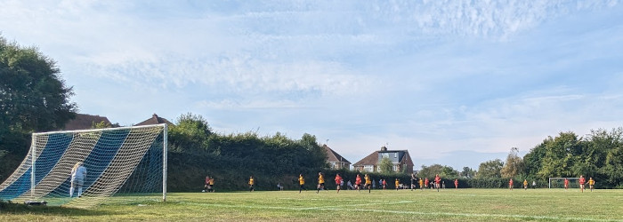
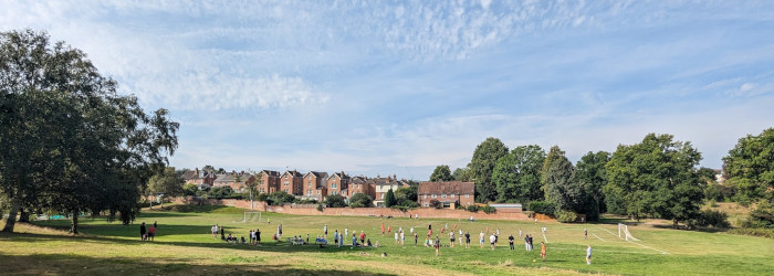
The football pitches were built from 1936 to 1938 by local unemployed men engaged by Tunbridge Wells Council of Service, a group of social and charitable organisations. They decided to actively provide work for the unemployed by paying their wages, and the townspeople donated generously, many by monthly subscription. The Borough Council contributed the materials and supervised the work. The lower football pitch was completed after the war and opened in 1949.

There is a full-size pitch (the lower one) and an intermediate one (the top pitch). There was originally a junior football pitch, which is now mostly the skate park.

The pitches form a 'King George's Field', named for King George V, founder of the National Playing Fields Association, now Fields in Trust. A grant of £200 from King George's Field Foundation helped to build the pitches, shown by the heraldic panels on the gate pillars, installed in 1939. These panels both bear King George V's royal cipher. The left panel has a crowned lion and the right a crowned unicorn, both supporting shields bearing the Royal Arms.

What Next: Our Lost History
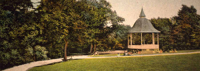
One stop to go, cross the playing field or follow the path back towards the wetlands where we will consider some aspects of our lost history.